
It sure is windy out there this afternoon. Winds are from the west at about 25 mph sustained with gusts near 40 mph. Humidity values are low this afternoon, in the single digits, which makes for elevated fire risk conditions. The warm and breezy weather will continue through the rest of this afternoon as a dryline stays pushed far to our east.
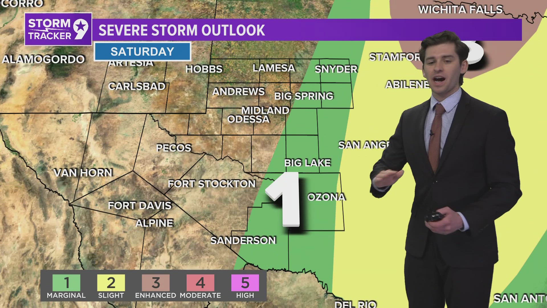
This dryline moves all the way towards Austin early Saturday morning before moving back towards the Permian Basin by early afternoon. The dryline heads east once again, this time firing up a line of thunderstorms across the eastern basin tomorrow evening. We'll more than likely stay dry here in Midland with winds staying moderately strong. It looks warm and dry for most of us through the weekend and early next week aside from the few who are lucky enough to get some rain tomorrow evening.
Rain chances ramp up as we progress into the middle part of next week as a large trough moves in from the west. This should help keep temperatures down – below average in the 70's at least for next weekend. This is still quiet a way away so things could, as always, change but we're currently expecting the possibility of several days with isolated thunderstorms late next week.