x
Breaking News
More () »

Historic satellite images show Midland, Odessa growth over time

Take a trip back in time with Google Earth. Google now allows users to view historical satellite images to see an area's development over time. Google Earth's Timelapse website combines over 5 million satellite images acquired over the last 32 years to show a global, zoomable video of how the entire Earth has changed over time.
Satellite photo over Midland in 2016. (Source: Google Earth)
Timelapse of photos over Midland from 1984 until 2016. (Source: Google Earth)

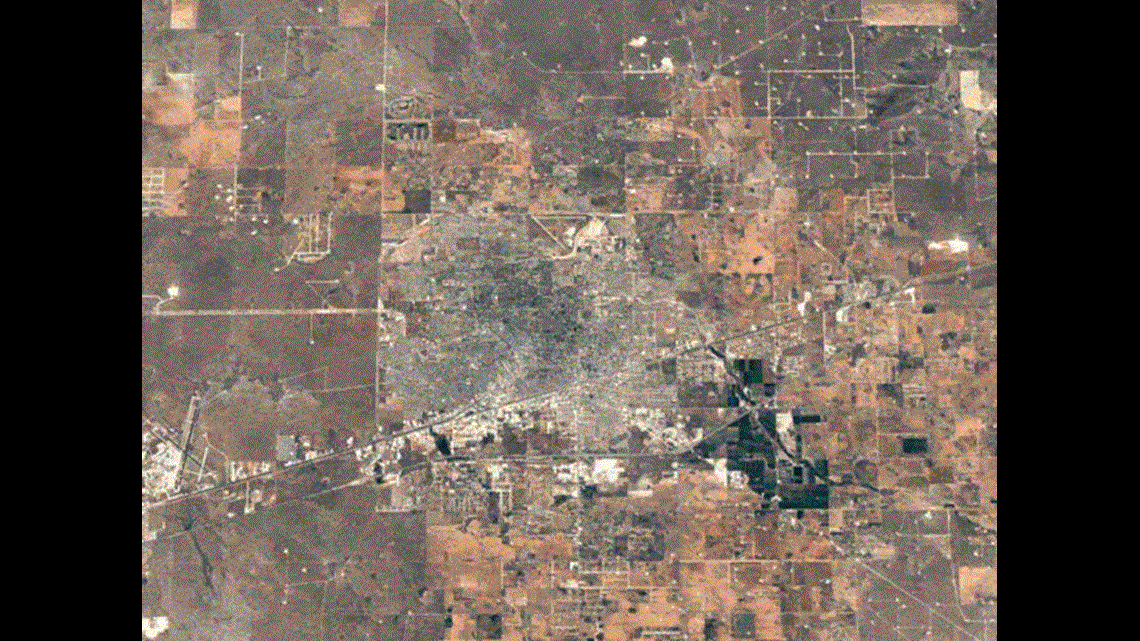
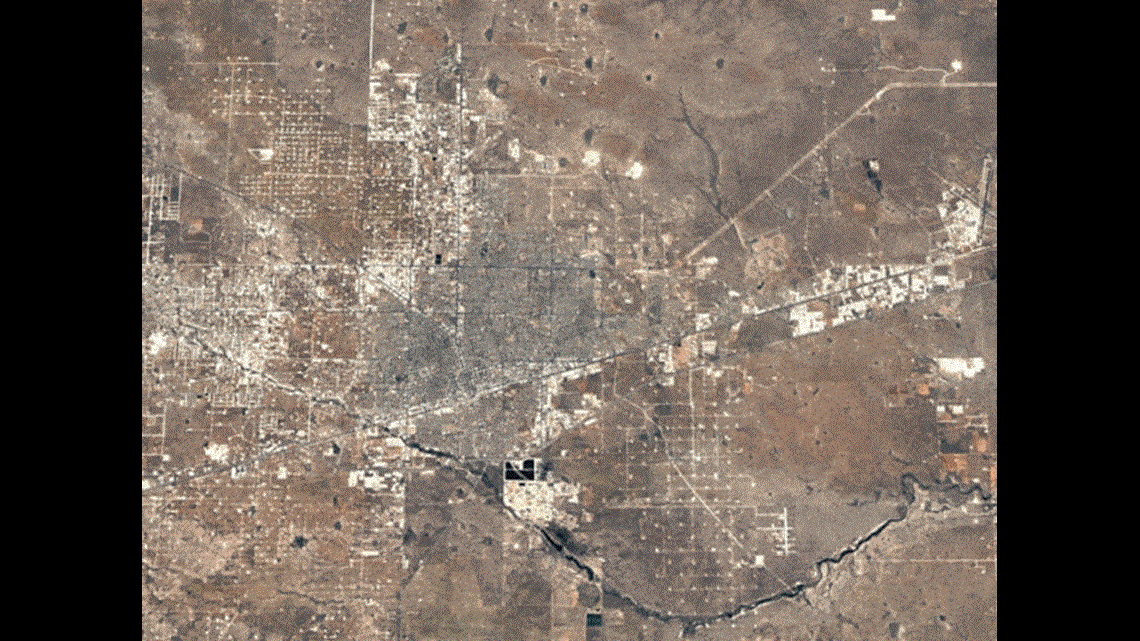
(KWES) - Take a trip back in time with Google Earth. Google now allows users to view historical satellite images to see an area's development over time.

Google Earth's Timelapse website combines over 5 million satellite images acquired over the last 32 years to show a global, zoomable video of how the entire Earth has changed over time.

You can see the timelapse video of anywhere on earth for yourself right here: https://earthengine.google.com/timelapse/.

Mobile users, click here to view the Midland and Odessa slideshows.

Before You Leave, Check This Out